19 November 2025
The bears did not get me
Mount Takamizu from Ikusabata to Sawai 2
The final hike is completed. It was very easy.
I did a very similar hike in 2023 (refer to Japan10). I started and ended at the same stations today, but took a different and I think more scenic path down than on my previous vist.
The train journey to get here was back up the Ome line, near to where my hike 2 days ago ended, but this time I went up and down the other side of the valley, Starting at Ikusabata station and ending up at Sawai station.
Now the last set of stats -
19,600 steps - did not even break 20k
11.54km
3 hours 46 minutes
943 calories burned
755m vertical ascent
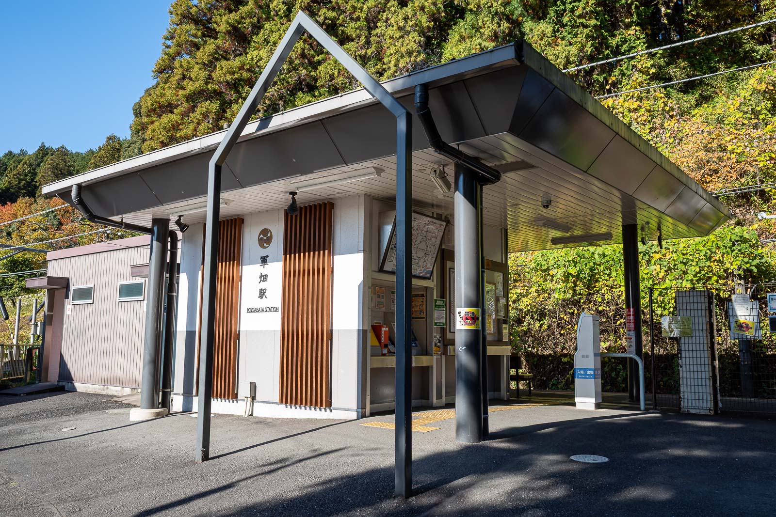
It takes between 90 minutes and 2 hours to get to Ikusabata station, depending on if you get a Chuo rapid or extra rapid, and which of the 3 branches of the Ome line it goes up or if you have to change trains somewhere. The station here is tiny.
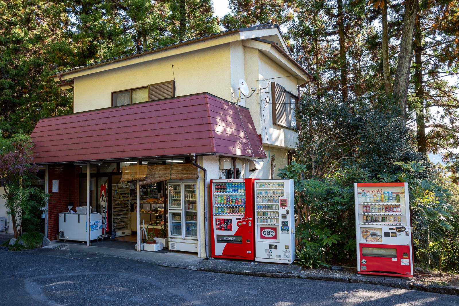
Last time I was here, this little shop selling supplies for hikers was closed. Today it was open. I had stocked up on protein bars and isotonic water before getting here expecting it to be closed, but then I felt bad for the old guy running it so I bought an iced coffee, drank it in about 10 seconds in front of him, and handed him back the empty bottle. He looked concerned.
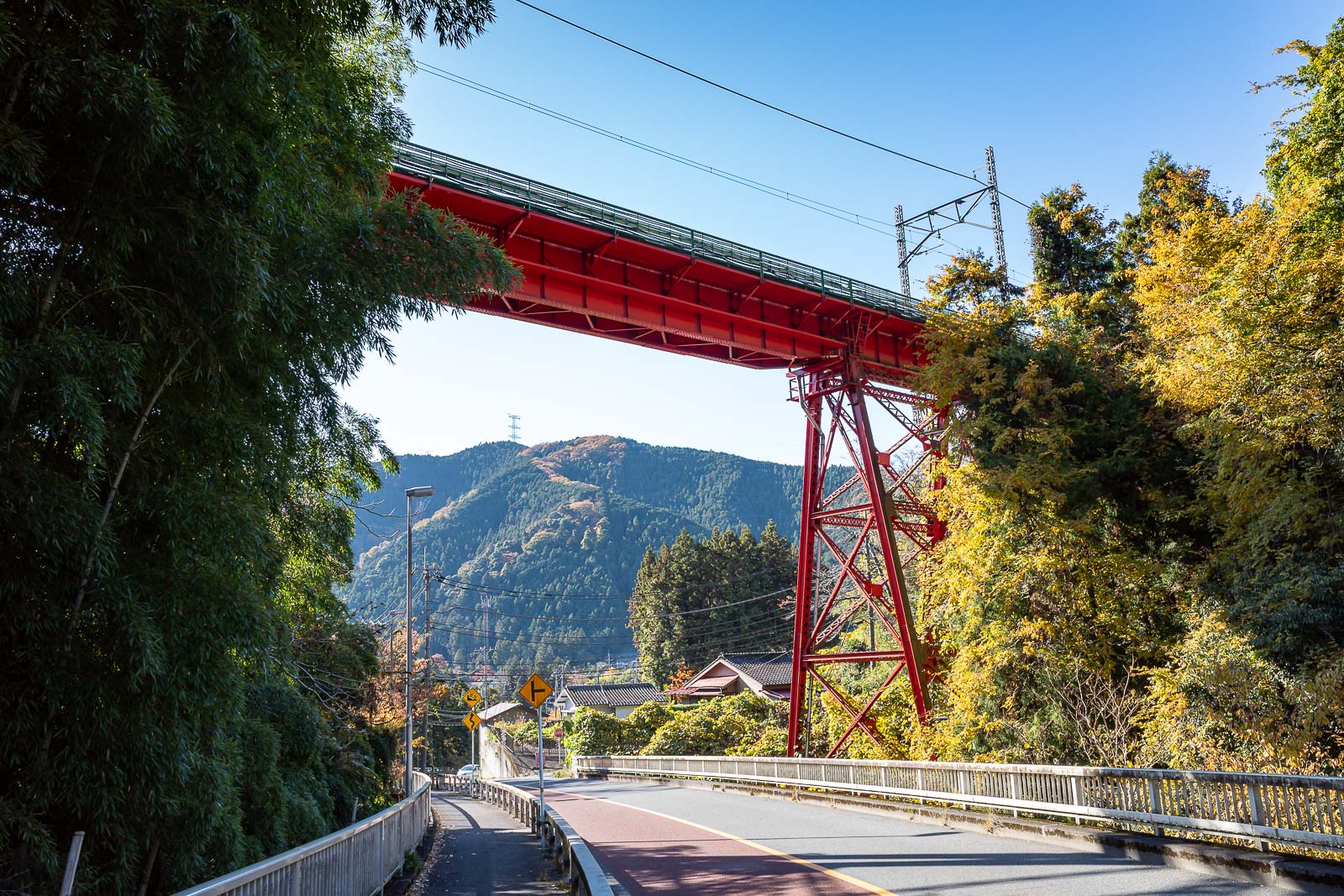
I think this is my 3rd time standing here waiting for a train to come over the bridge for a photo. My second time doing this hike, and one time I finished a different hike at this station. Still no train though.
Hmm, that's actually blue sky, but white in this photo.
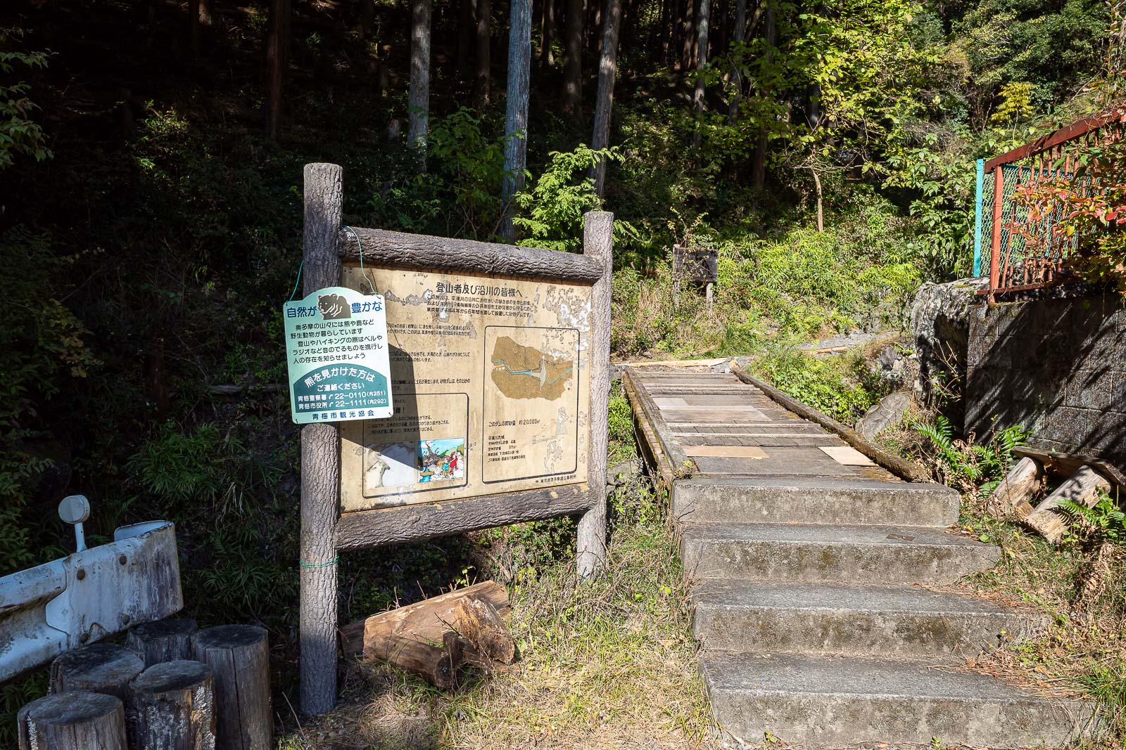
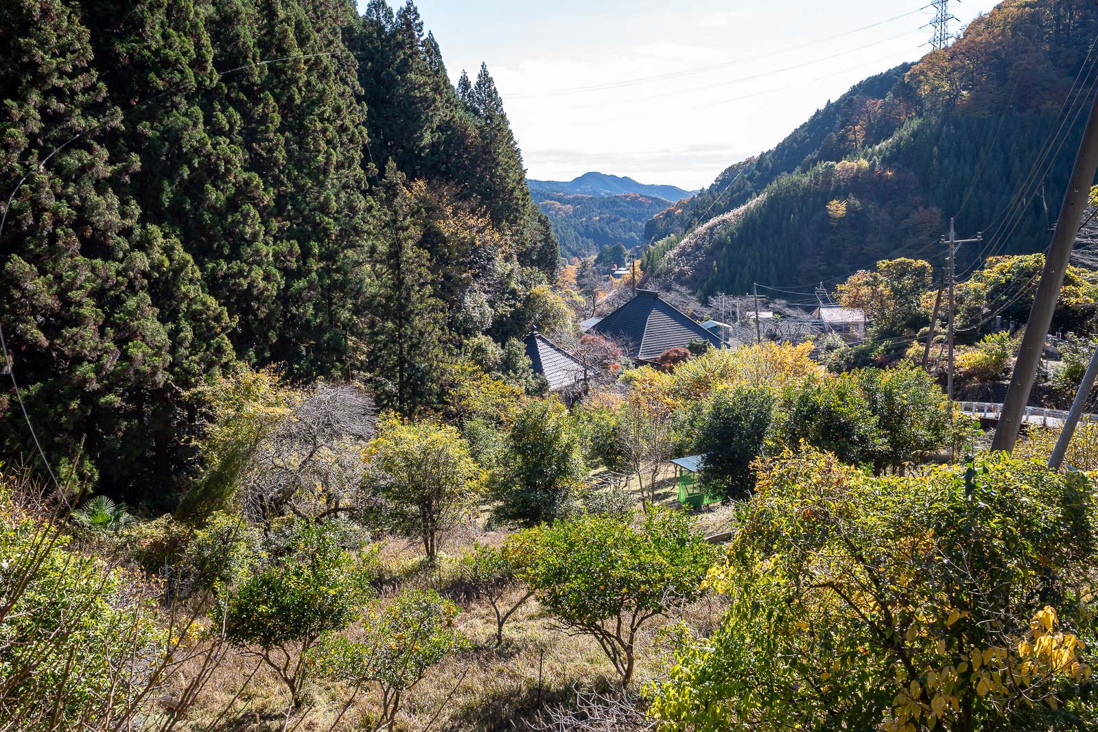
The trail proper starts about 2km away from the station up a very nice road with little shrines. The sign here has a phone number to call if you want a bear delivered to make your hike more interesting.
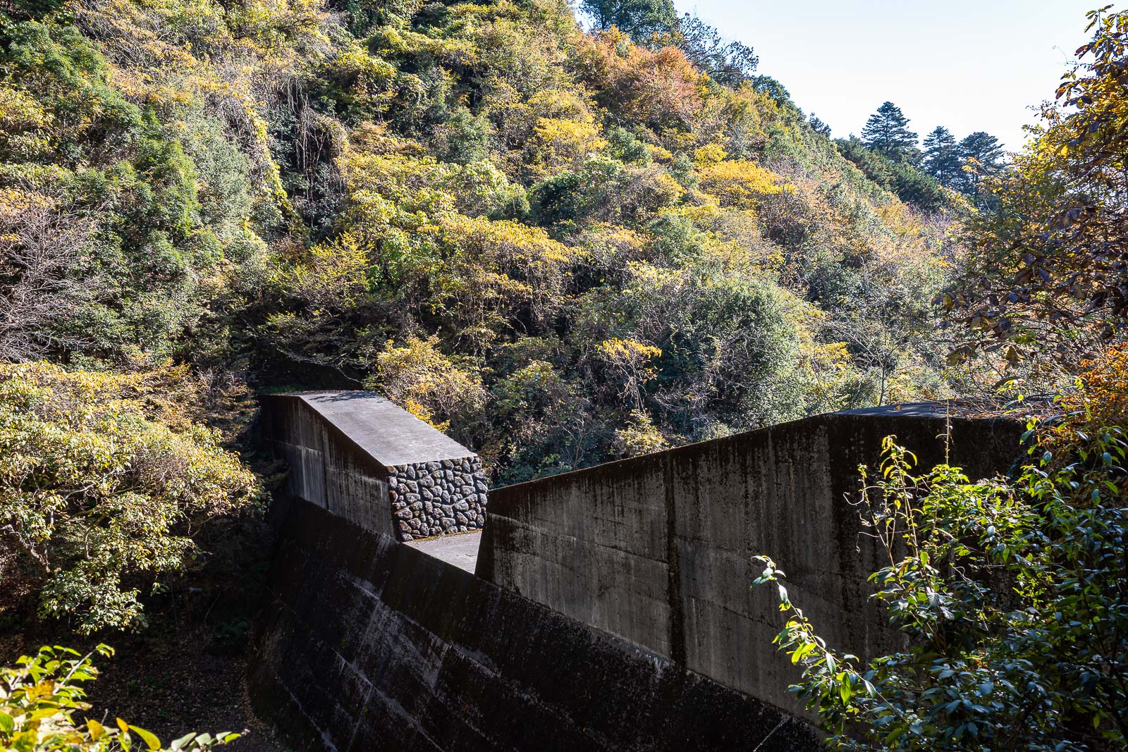
The dam wall today was impressive.
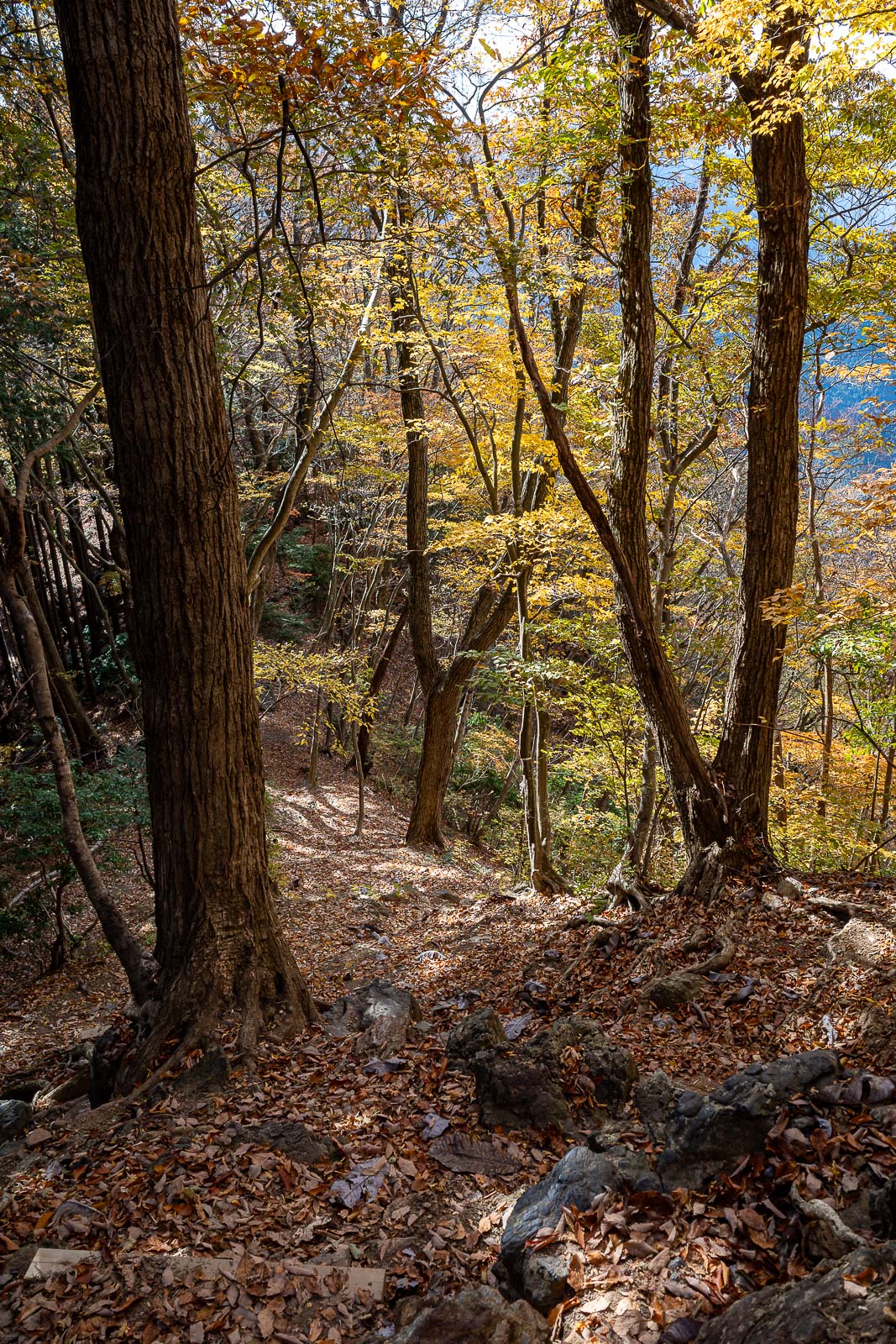
Something about the light is making everything yellow.
Time to unleash the bear bell one last time and start clapping intermittently.
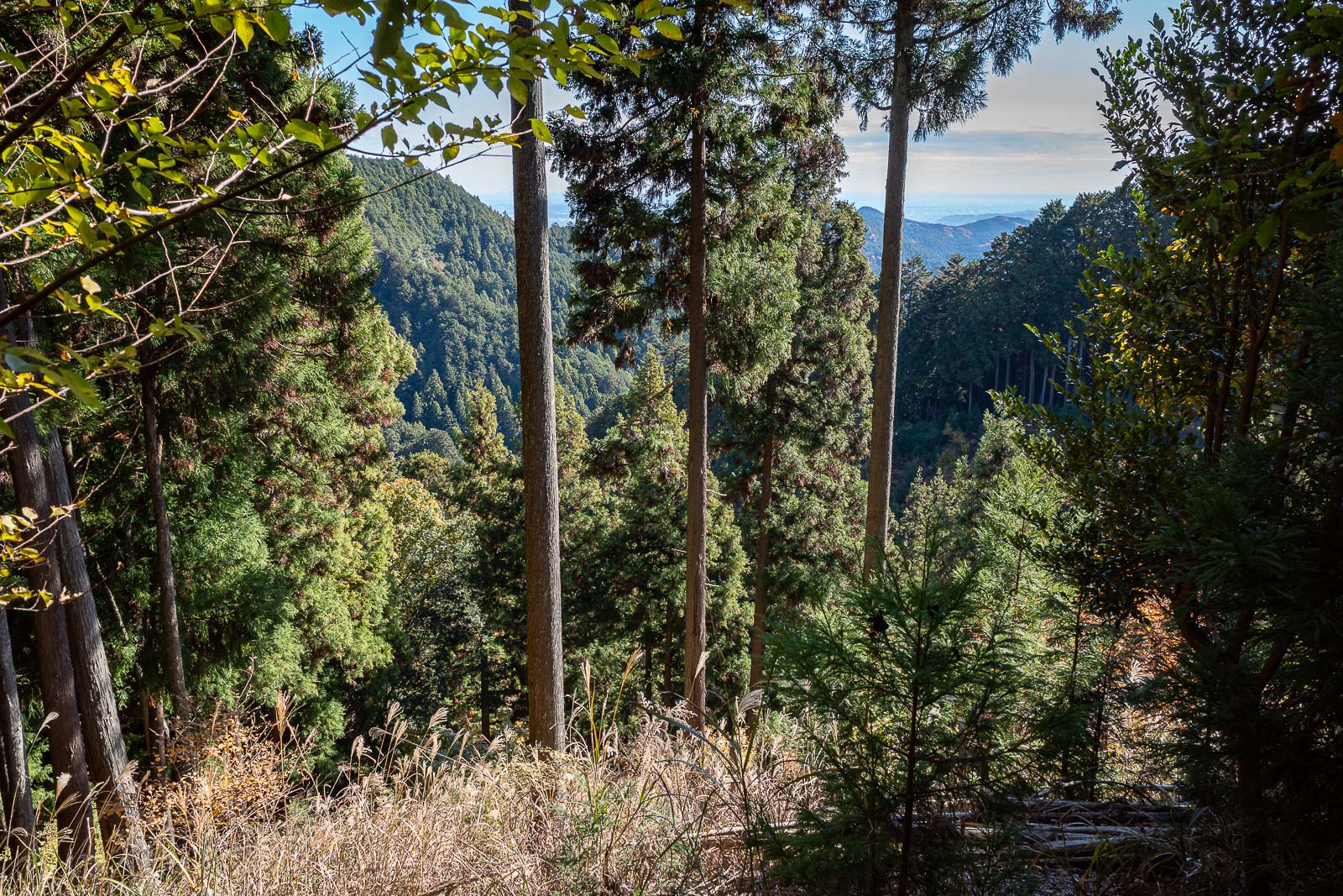
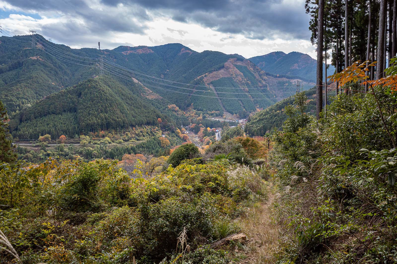
Tokyo is down there, but you cannot see it in this photo.
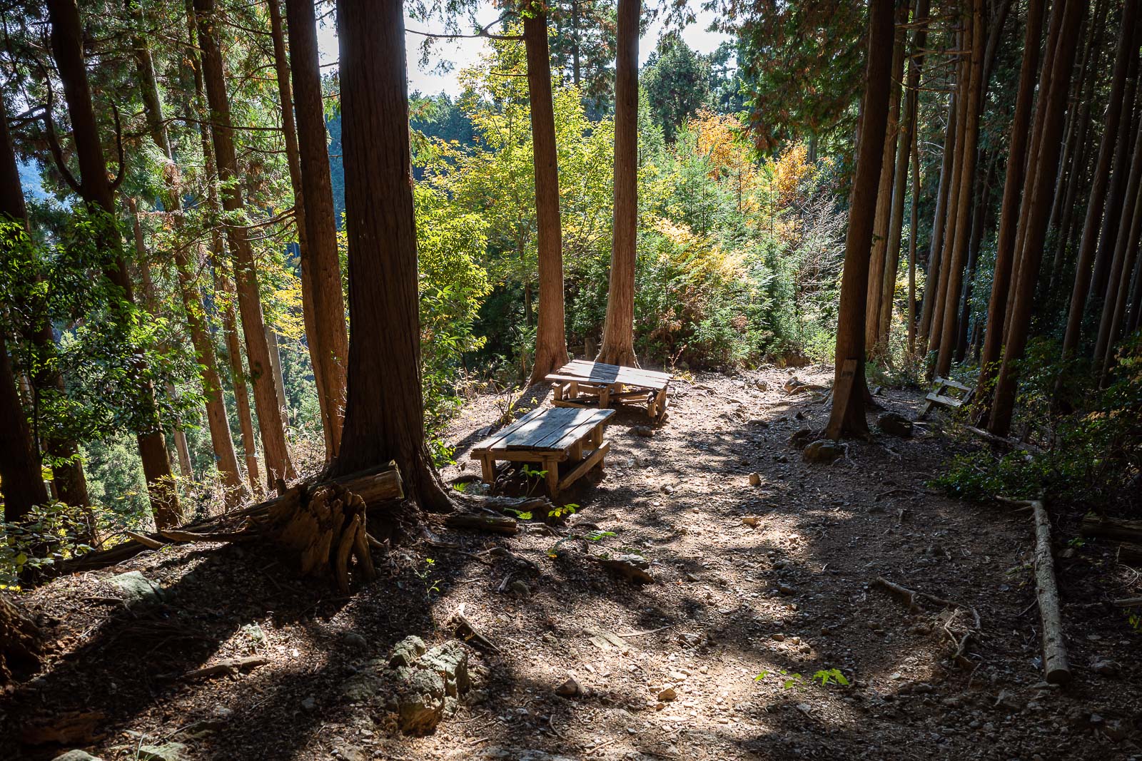
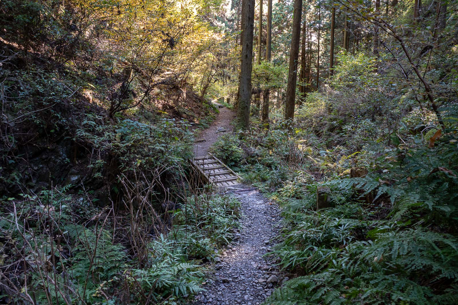
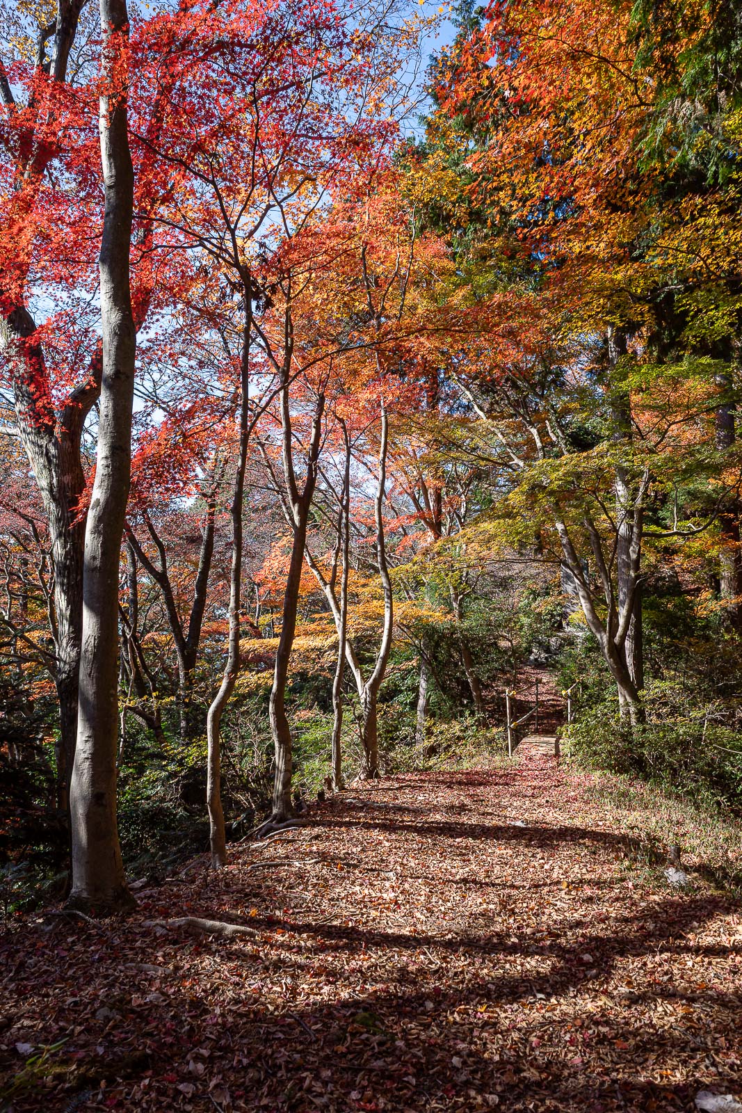
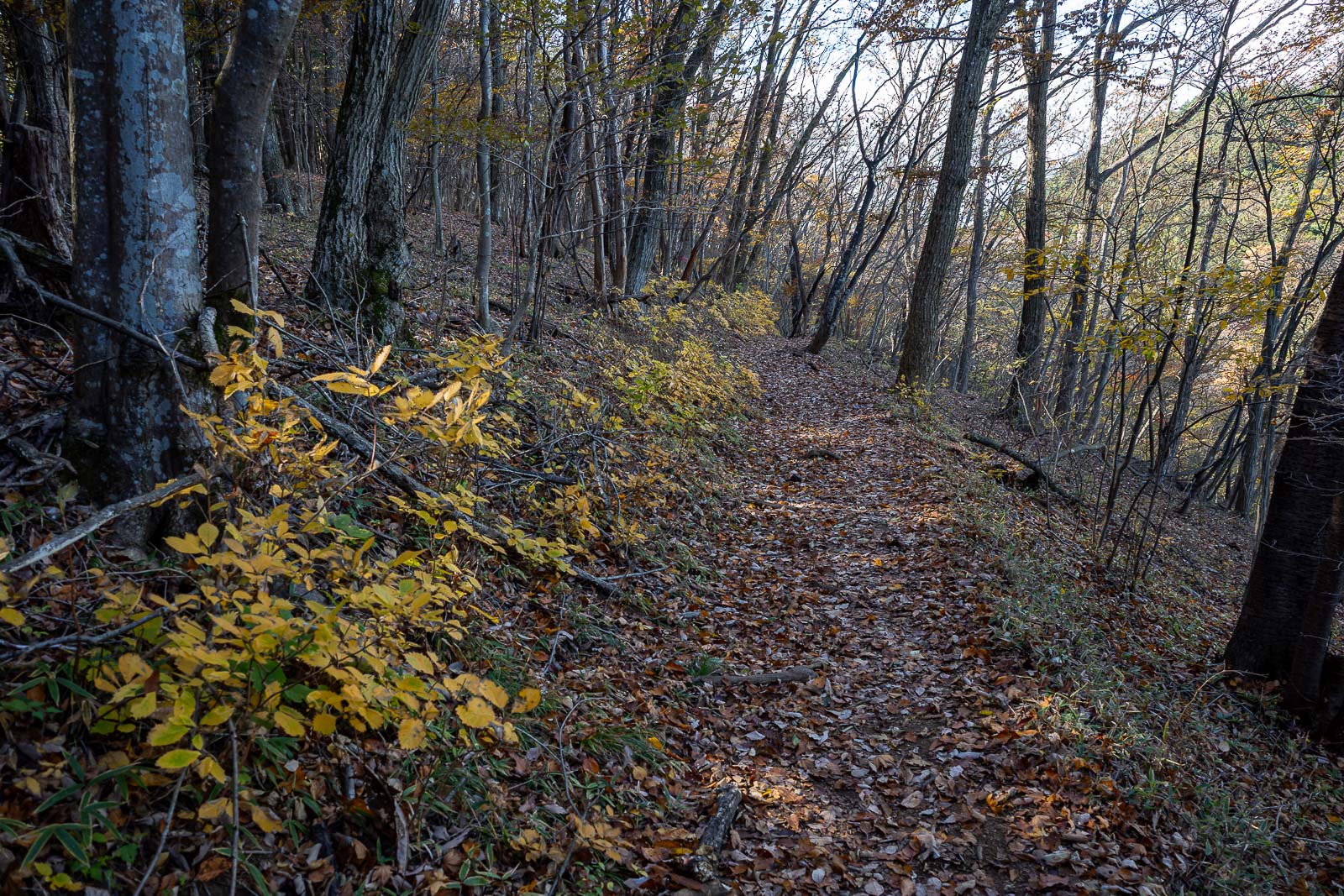
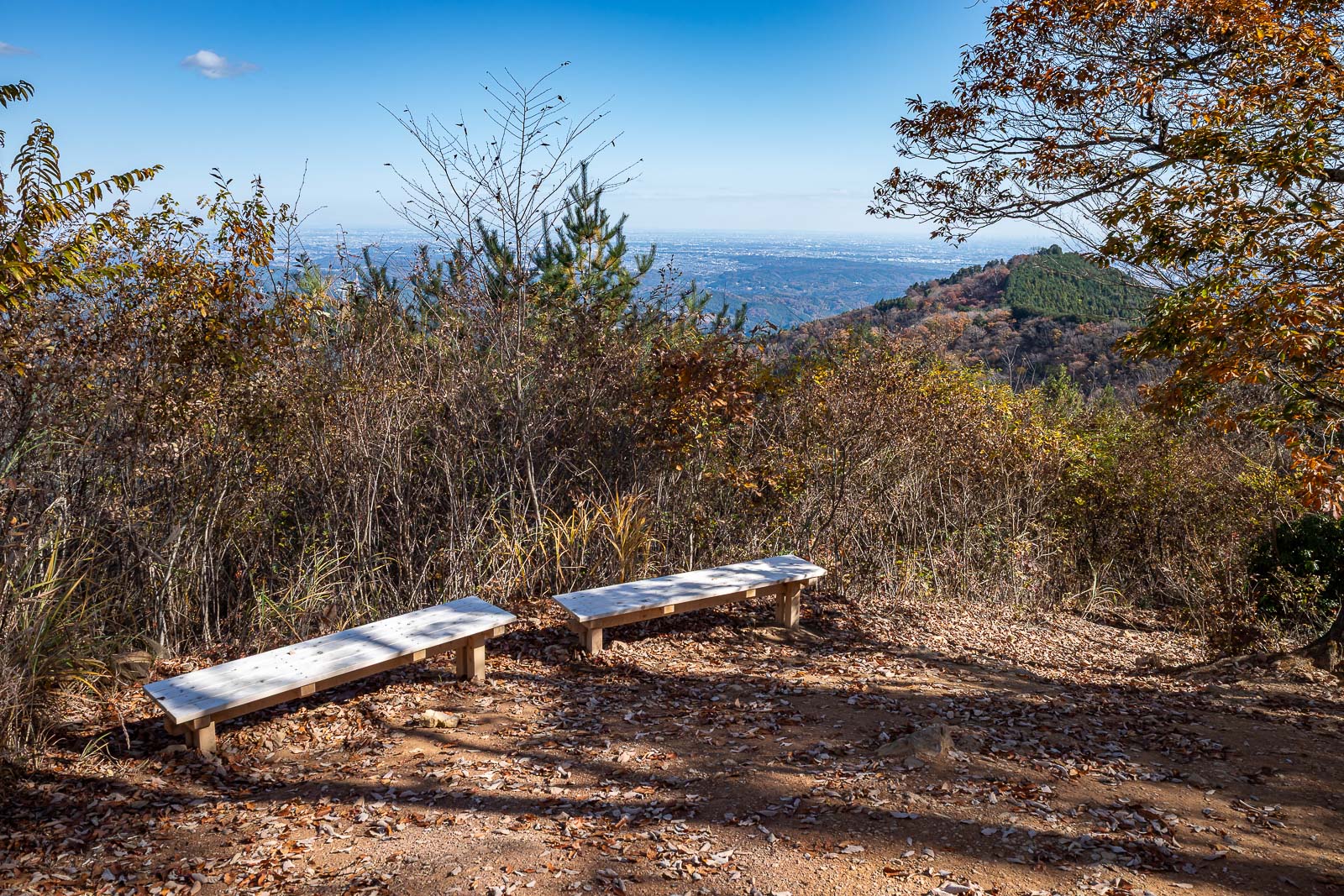
Despite this being a short hike with a giant shrine complex in the middle (coming up shortly), the trail is a proper trail, complete with trail furniture.
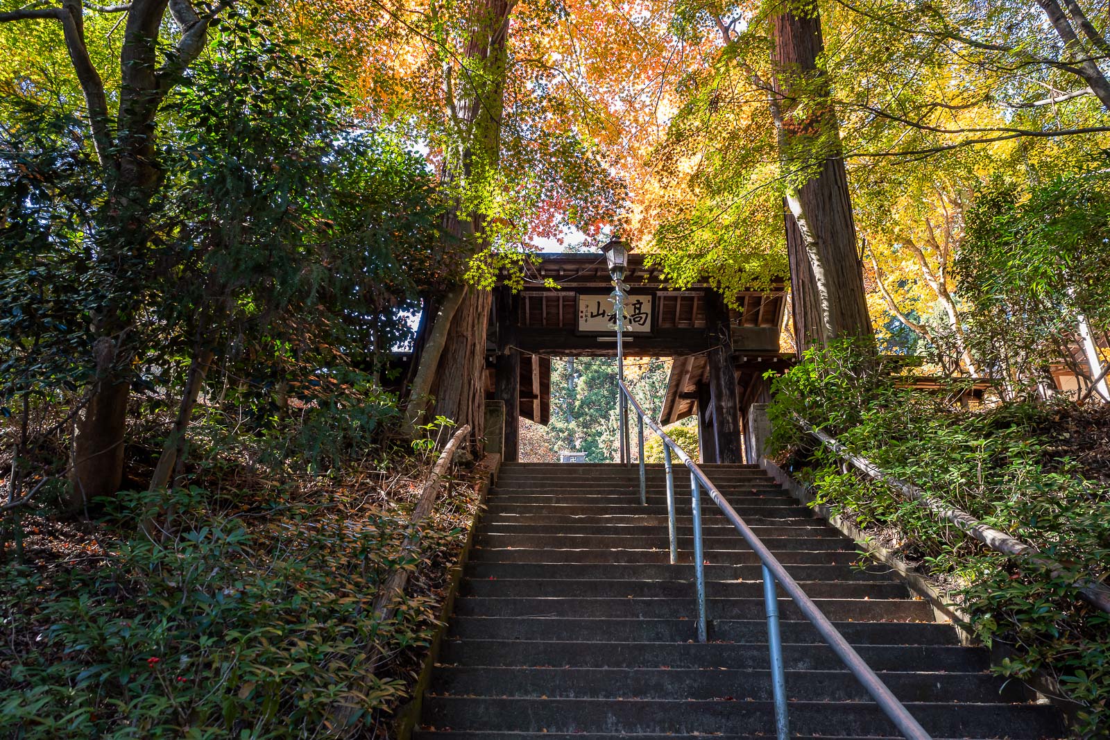
The stairs up to the shrine were very colourful.
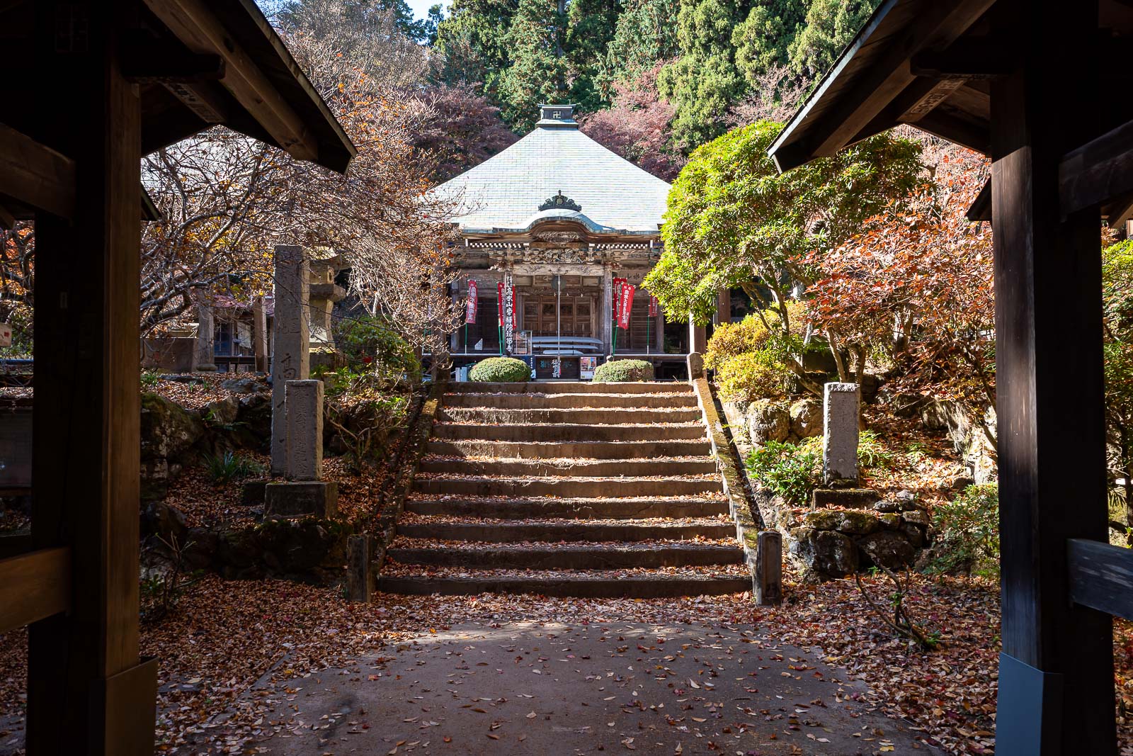
No one here! I had the shrine area to myself.
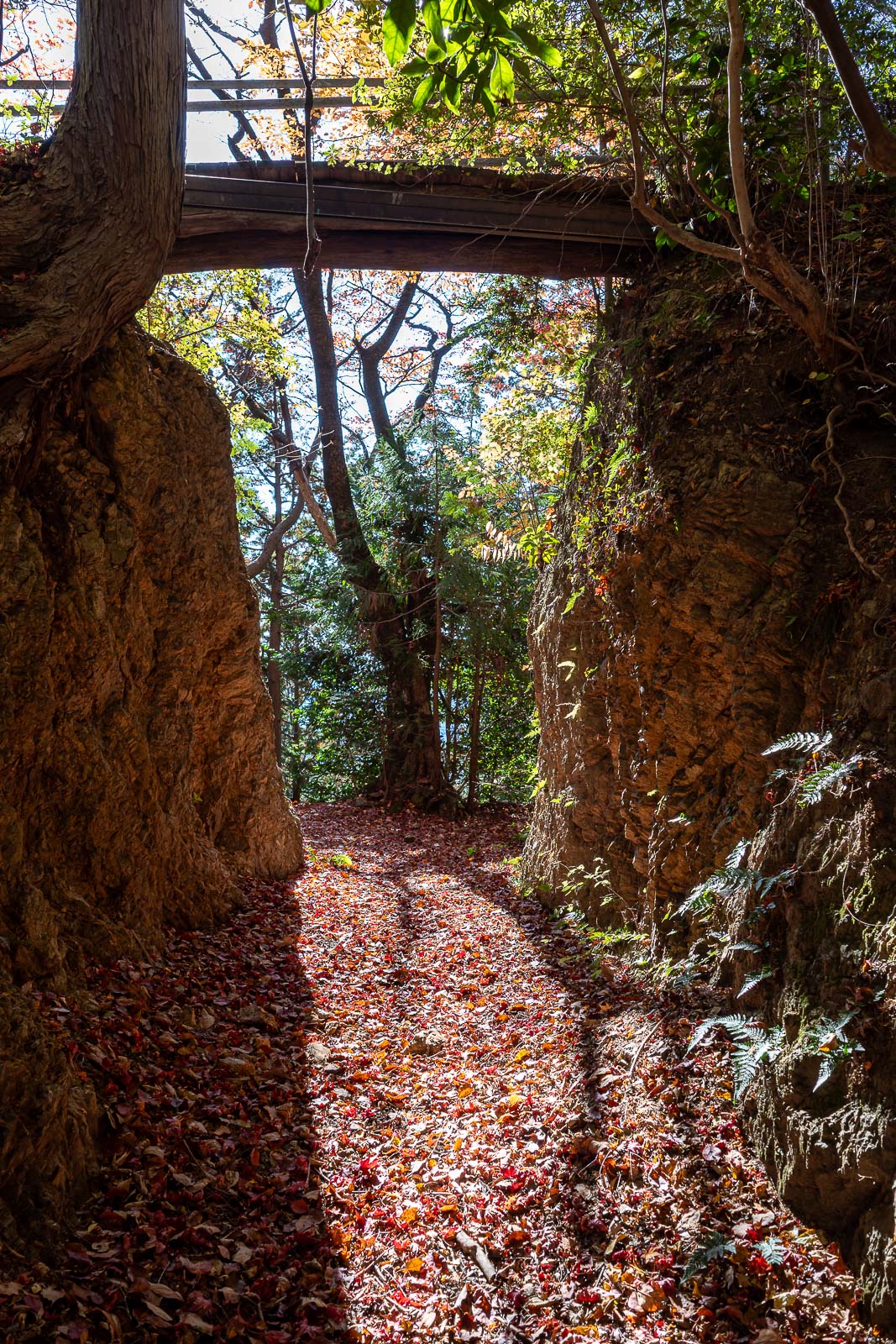
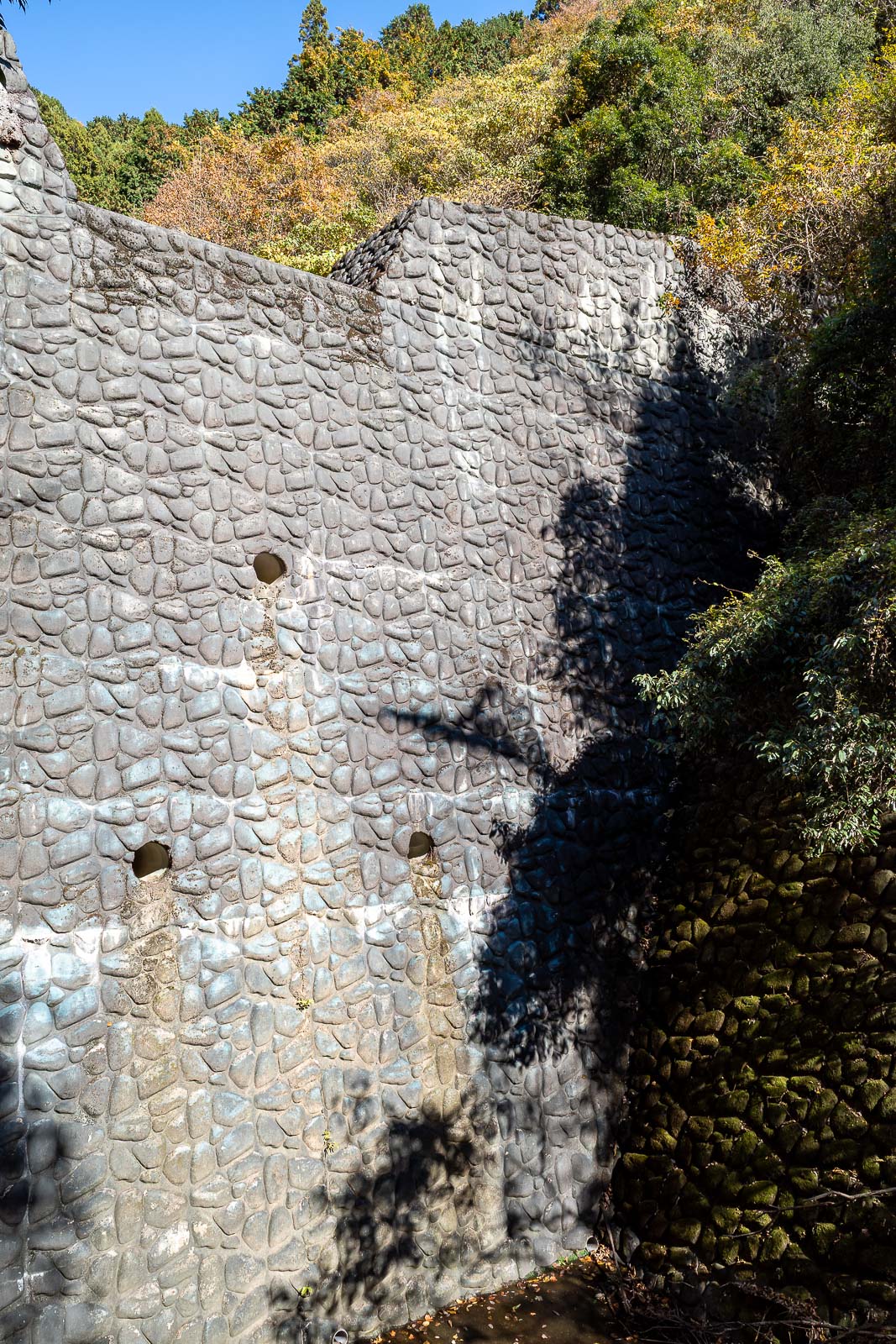
I remembered this weird wall and bridge from last time, it does not seem to serve much purpose.
Although here is the bridge. Once you are on top of the wall the trees here are the most colourful, once again suggesting they are deliberately planted near shrines.
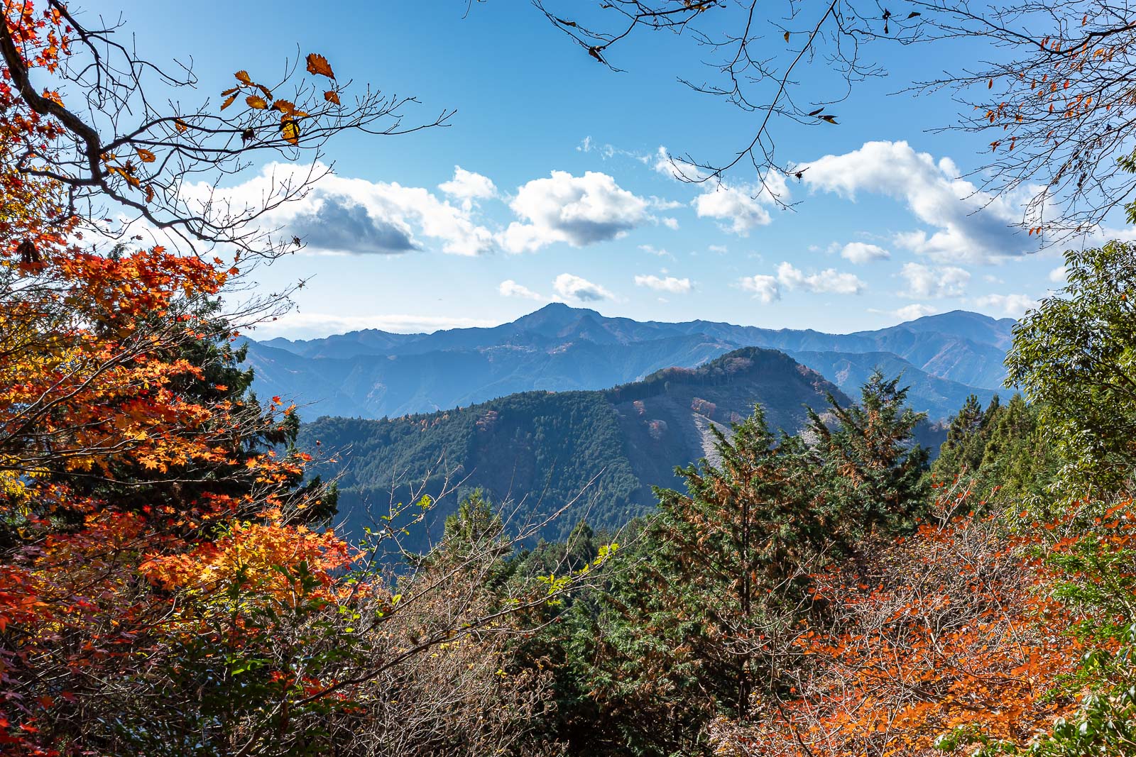
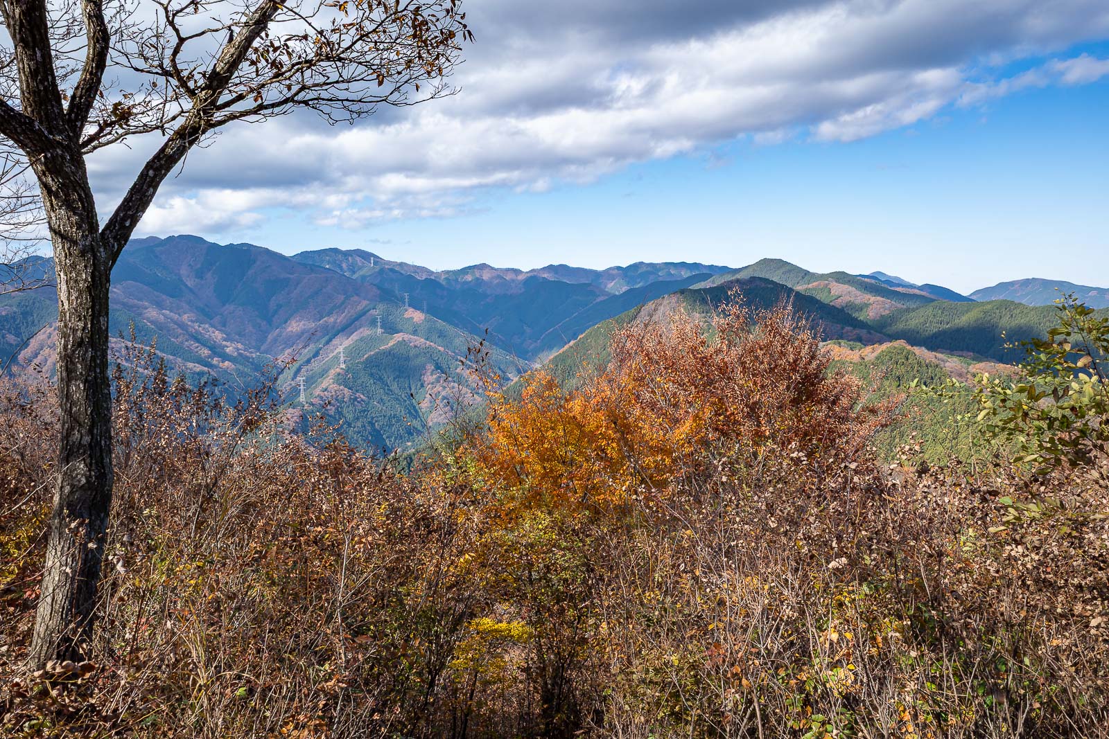
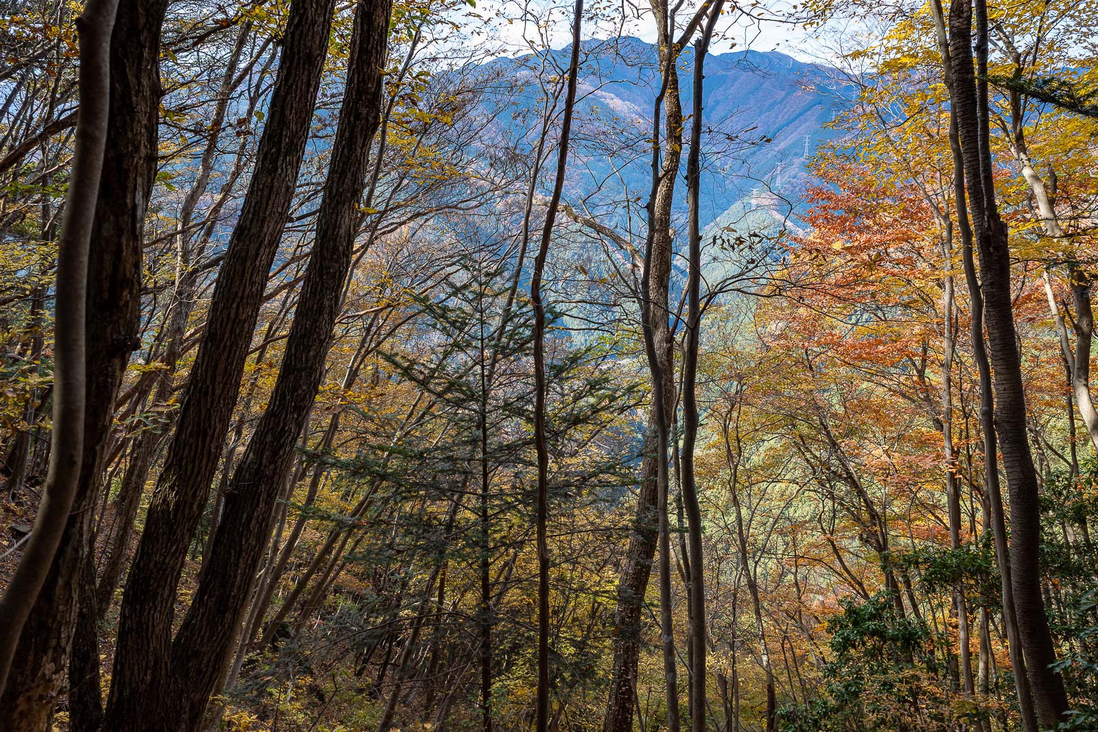
A view of where I was the day before yesterday (Mount Odake, I think, back centre).
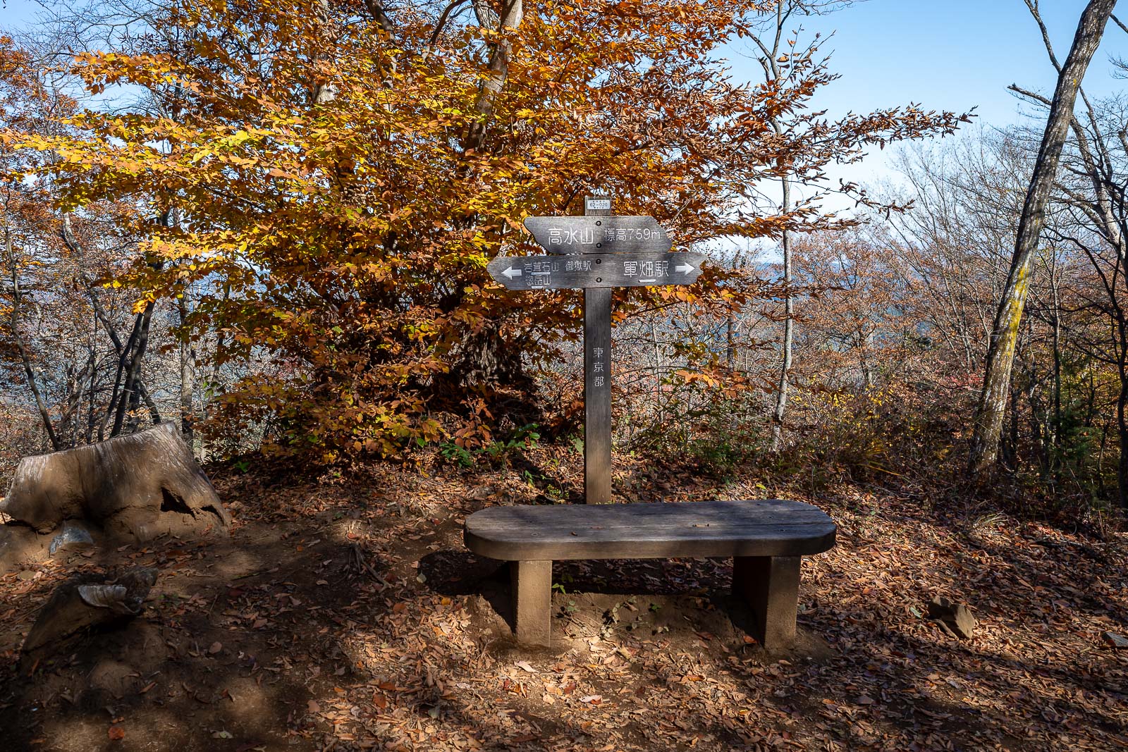
This is the main summit of the day, Takamizu, but there is also Iwatekeishi and Sogaku.
The trail between the peaks is relatively flat.
Behold, summit number 2, Iwatekeishi. A better view of Tokyo below.
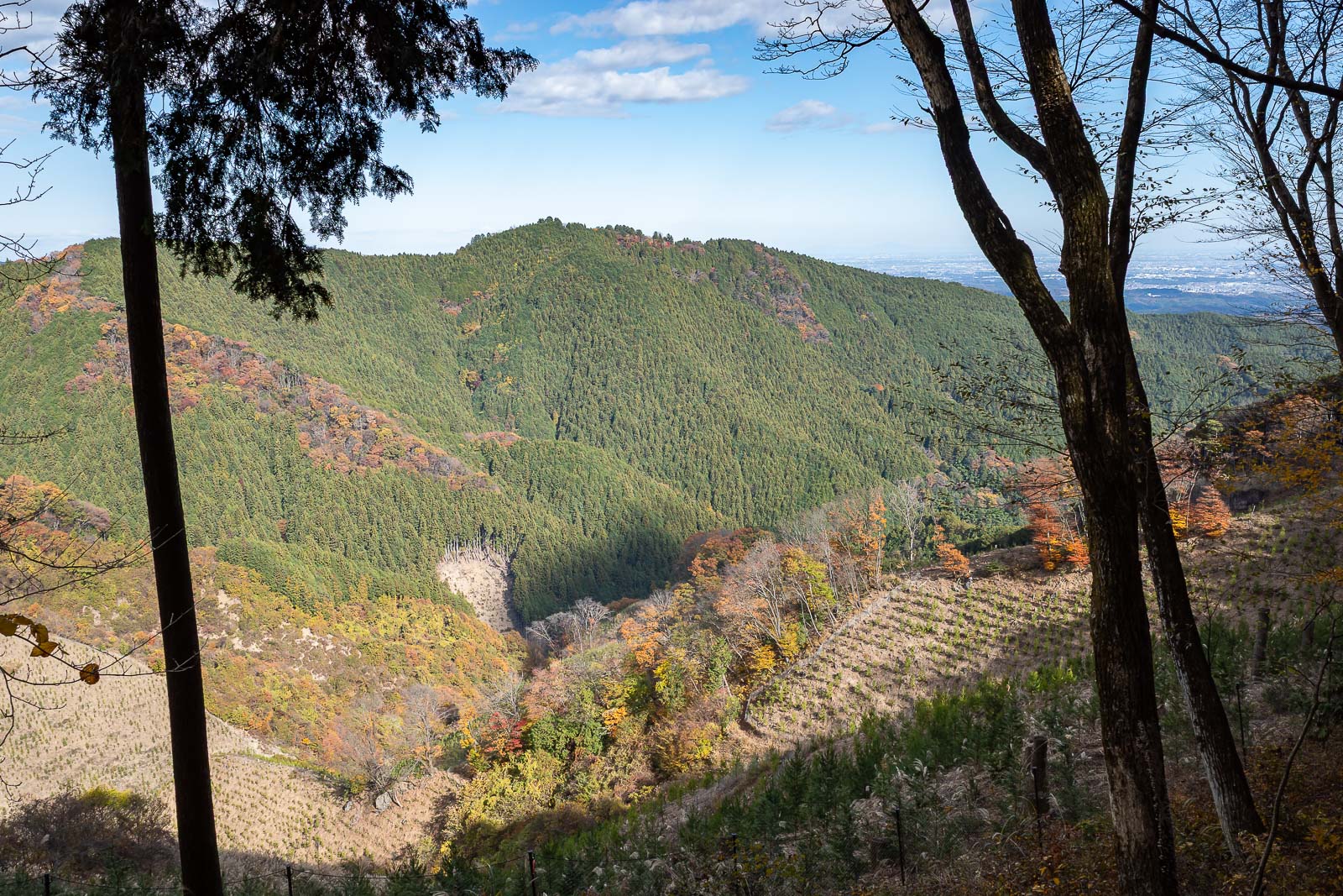
Nice view, some cloud coming, but also more blue sky.
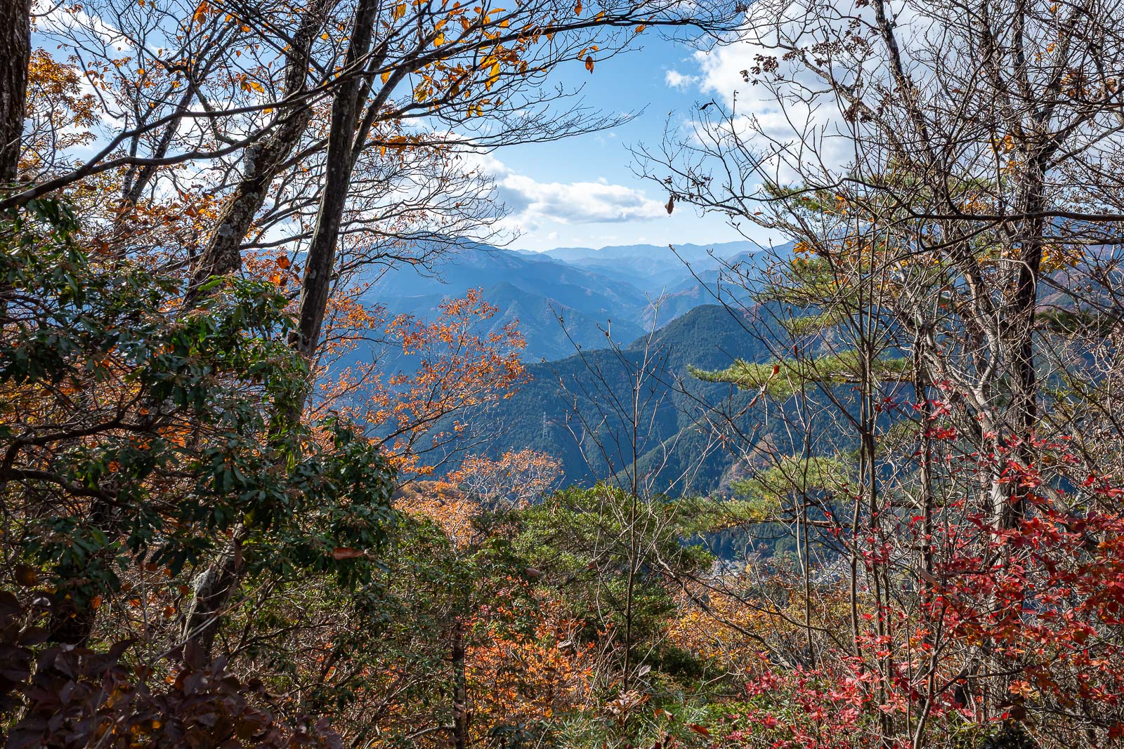
The view gets better.
The day consisted of coloured leaves and logging regions, swapped out for each other regularly.
Bonus leaf and mountain pic.
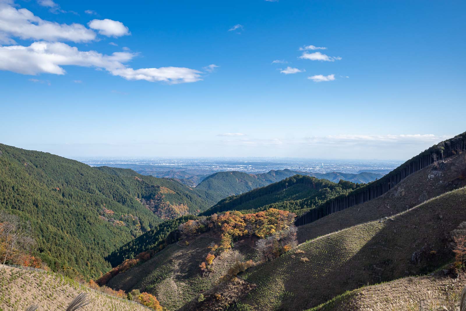
I now entered a heavily logged area, Tokyo is down there. Not much smog today.
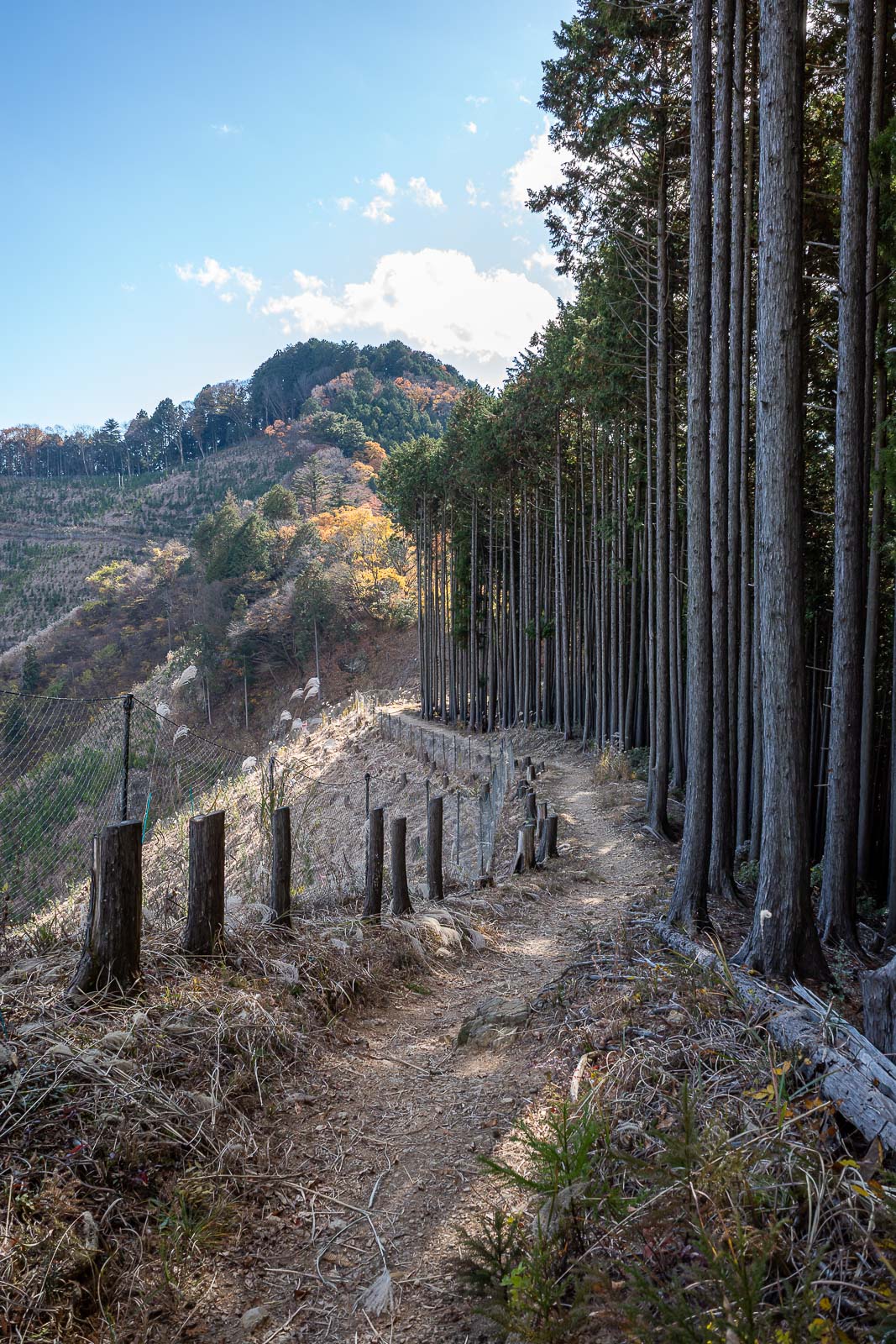
The logged area made for quick progress.
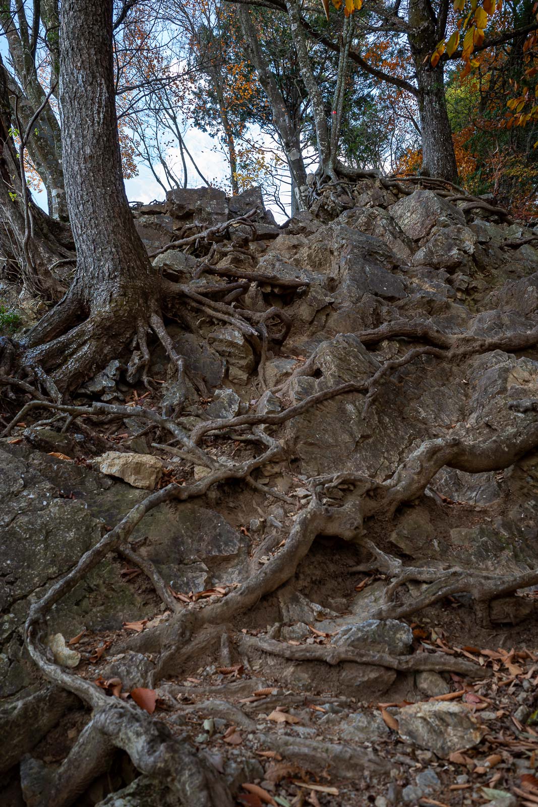
But then, some more rocks. One last chance to plummet on this trip. I did not plummet.
I think that's basically the way I had come up and around from.
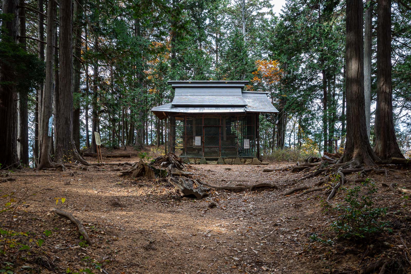
I believe this is the summit of Mount Sogaku.
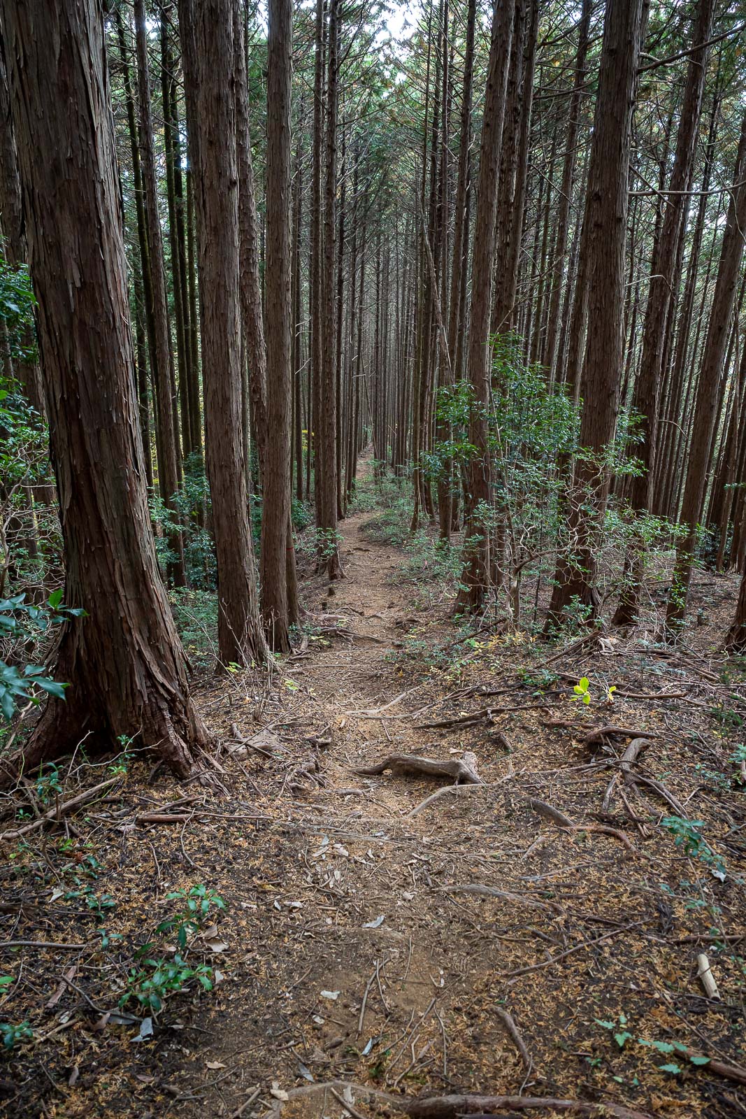
The path down was different to last time, but basically forest areas that will one day be logged.
Almost back, one last chance for the bears to spring a surprise.
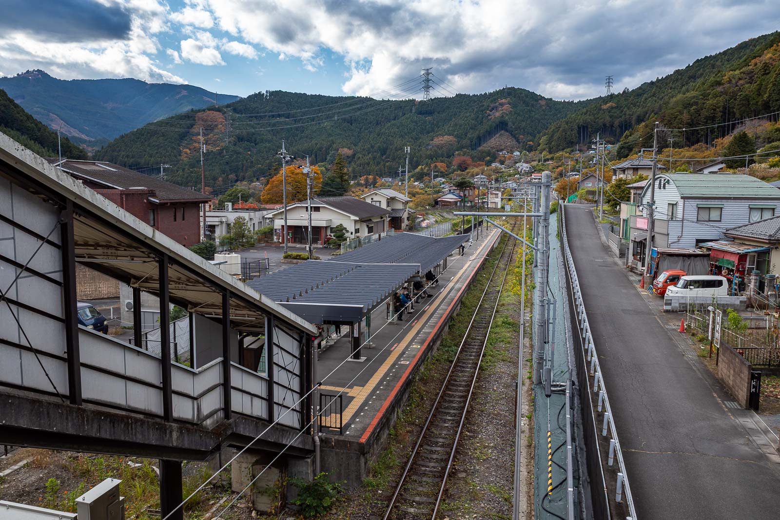
They did not get me. Statistically, according to daily news articles, I should have been attacked by a bear 20x by now, but never even saw one. This is Sawai station, I sprinted to get here in time for a train, or else it was a 45 minute wait, so no chance for a stance photo.